Madeline Santulli
Siena College
Loudonville, NY 12211
February 26, 2013
Introduction
The Rensselaer Land Trust is a
non-profit organization that protects the Robert Ingalls Preserve, which does not have a developed map of the area for the public eye or for use by the staff. However, the boundary lines of the preserve have been established. Therefore, it would be helpful to make a map that
is eligible to the public eye to show the general boundaries, trails, infrastructure and
natural features that the preserve has.
The Robert Ingalls Preserve is a
30-acre property in Stephentown open to the public. Rensselaer Land Trust plans to improve a parking
area, lay out formal trails, and install kiosk and interpretive trail signs.
The Preserve is located on the Rensselaer Plateau, where Black Brook, a native stream, flows through the forested preserve.
Objectives
·
Produce an appealing, organized, informative, and easy-to-read
map of the preserve, showing trails, bridges, infrastructure, boundaries, and stone walls.
·
Show natural resources such as wetlands, vernal
pools, forests, streams and rivers, and open areas.
·
Show the location of the preserve in Rensselaer
County through use of boundaries.
·
Include the Rensselear Land Trust organization name and logo.
Methods
The process starts with the
layout of several layers into one, making a proper view of the preferred
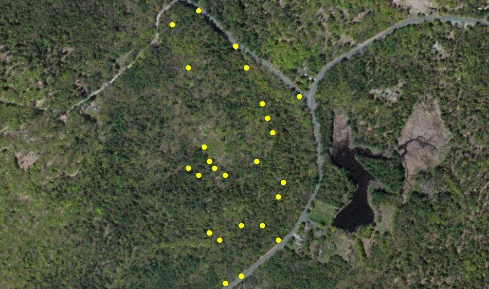
region. The next step is to go out into
the field and record the latitude and longitude coordinates, through the use of a GPS, of features in the preserve needed to be marked in the map. This will consist of trails, natural resources, stone walls, and infrastructure.
After mapping these features, the proper layout of the map can be
determined in order to make it presentable to the public eye as well as being useful to the Rensselaer Land Trust organization.
Data Sources
2011 DeLorme Publishing Company:
World Elevation Contours Map (basemap layer)
2010 Esri: World Imagery Map
(basemap layer)
2010 EPA Office: EPA Watershed
Map (dataset layer)
2012 U.S. Forest Service
Enterprise: U.S. Forest Watershed Boundaries Map (dataset layer)
2011 U.S. Geological Survey: Water_Bodies_Stream_Features
Map (dataset layer)
Work Plan
March 15, 2013 Compile data for the
geography of the Robert Ingalls Preserve
March 22, 2013 Merge Layers into a single
layer, showing the boundaries of the preserve.
March 29, 2013 Record, and map GPS readings.
March 12, 2013 Create metadata for final
layers.
April 17, 2013 Complete rough draft.
April 24, 2013 Analyze results and complete final draft.
Deliverables
The final draft for the client will be a
pdf file, consisting of fine pixel imaging for a large scale map, colored. The format will be designed for the public eye that is
easy to follow and presentable. The map will be organized and designed to look appealing to the targeted audience. Shapefiles will be created and provided for future reference for the Rensselaer Land Trust organization, when needed to map the area in the Robert Ingalls Preserve.